AVRs
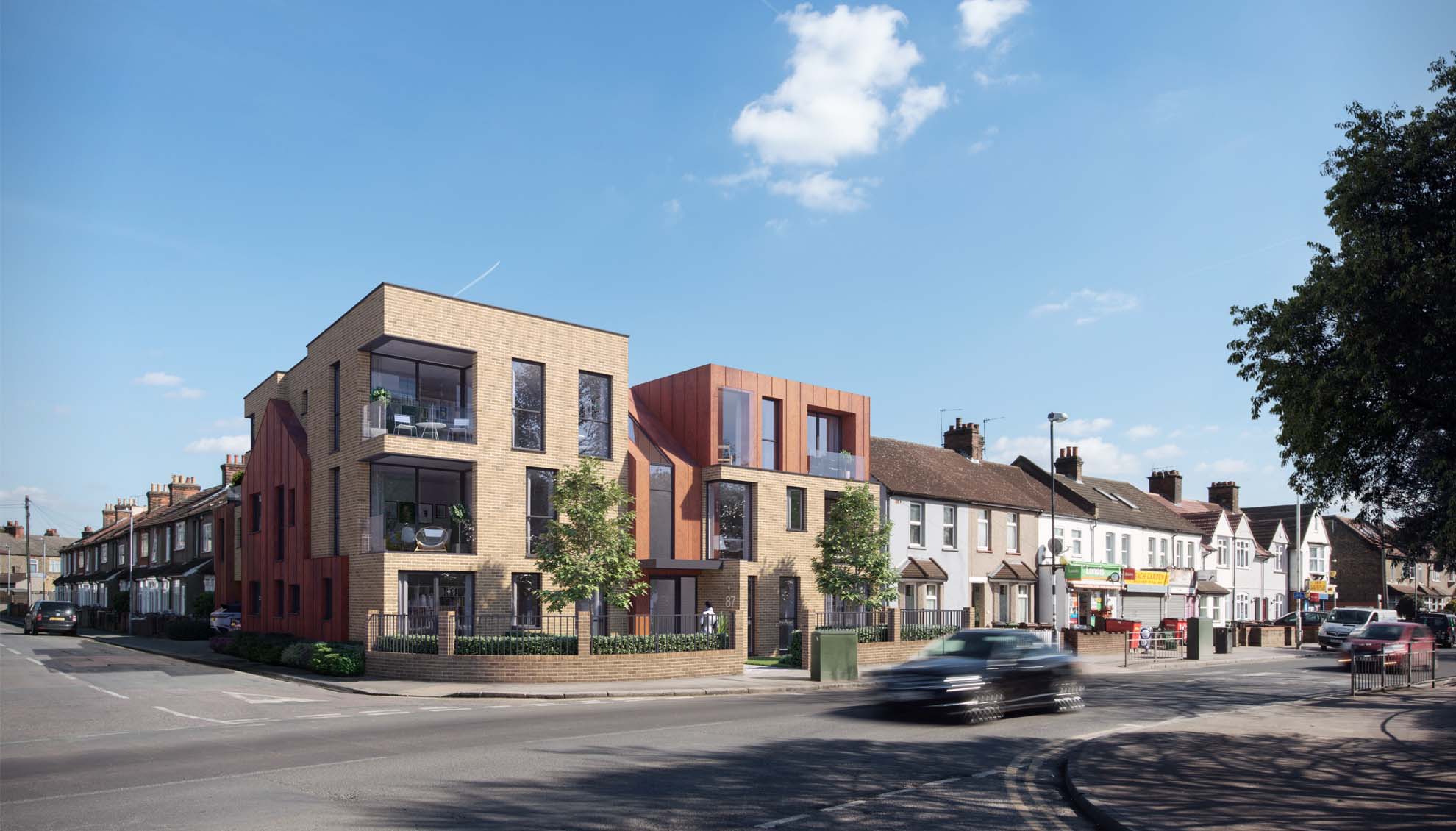
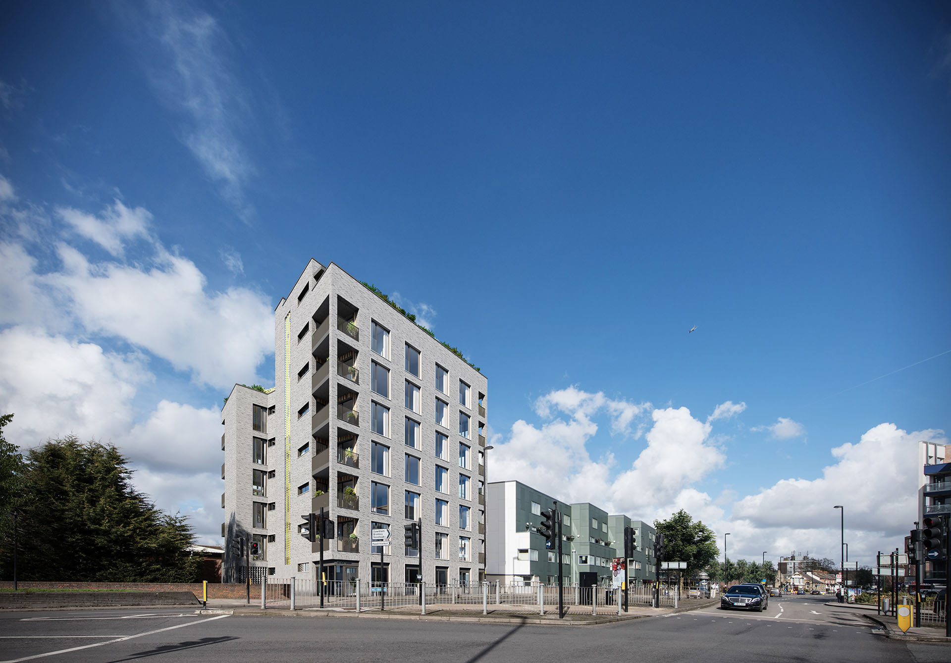
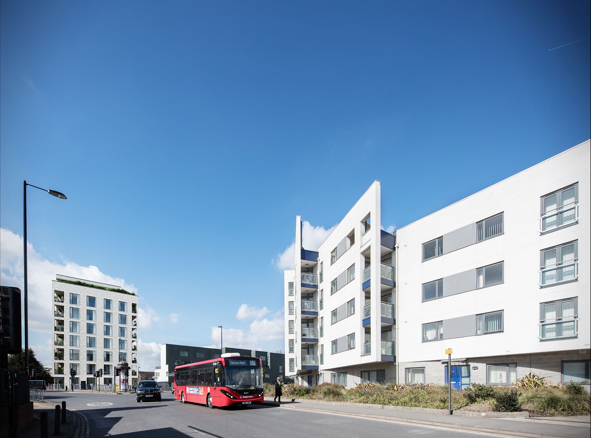
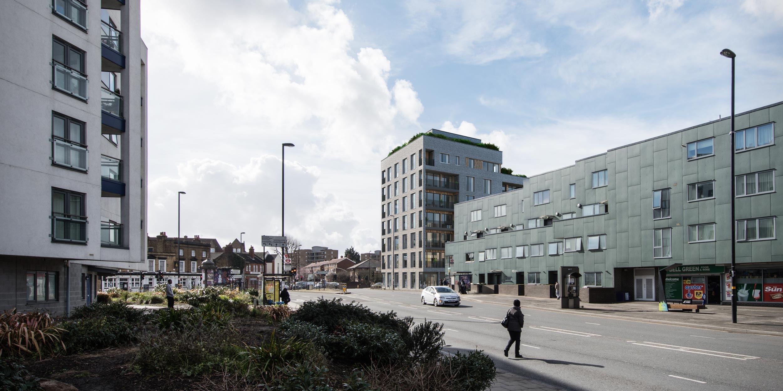
Take your photomontage a step further with: Verified Views. These planners CGIs are also known as Accurate Visual Representations (AVRs) or Verified View Montages (VVMs). If you need planning permission or an idea of how your project will impact the surrounding area, this is the CGI service for you.
HOW WE WORK
To ensure we create an accurate depiction of your project:
- A qualified surveyor will be used to record height and location data from the site.
- We accurately match GPS readings and control height points to the camera position.
- We cross-reference the survey data with topographical surveys and OS information.
- We create a 3D model for the AVR, using architectural 2D CAD drawings, the site surveys, and building material schedules or client-supplied 3D models.
- We supply a recorded methodology report of the process.
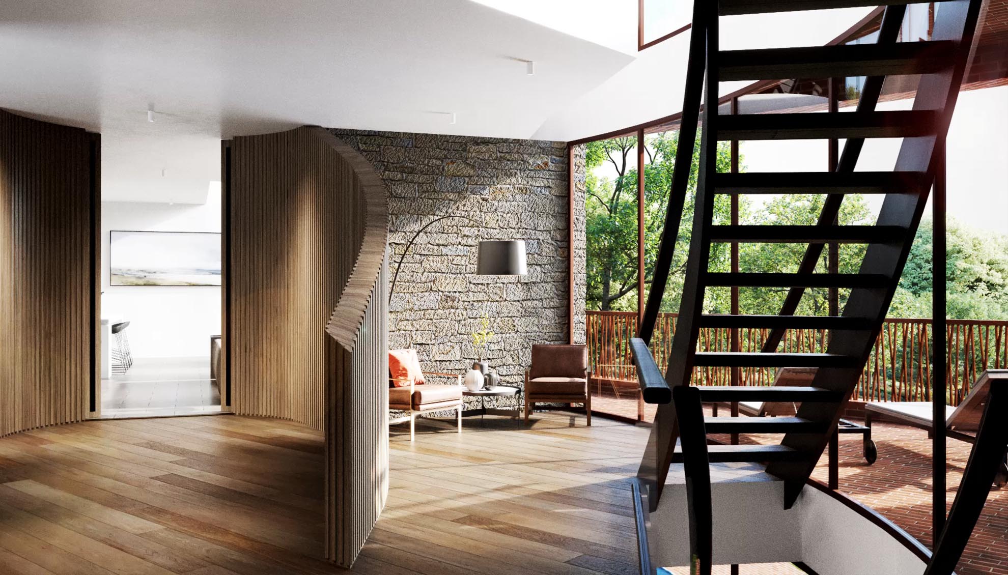
- Ideal for property marketing and planning applications.
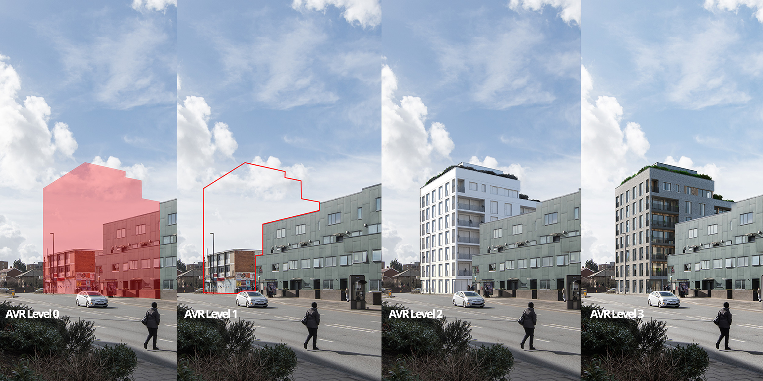
VERIFIED VIEW CLASSIFICATIONS
CGI verified views are broken down into four different categories. These vary in detail and realism but all provide a valuable tool in understanding how the proposed build will look within the environment.
- AVR Level 0: an outline of the building is shown depicting the size and location of the proposal.
- AVR Level 1: a wireframe outline of the 3D model shows the size, location and visibility of the proposal.
- AVR Level 2: a single overriding material CGI of the 3D model is produced depicting the lighting and massing of the proposal.
- AVR Level 3: a high-resolution CGI with the proposed materials and other 3D assets applied.
CONCLUSION
At the end of every verified view process, a methodology document is supplied along with the high-resolution CGIs. This document explains the process of how the verified views were created, the location/s of where the site photographs are taken, camera data, survey data, reference points, and before and after images showing the impact of the building on the environment.